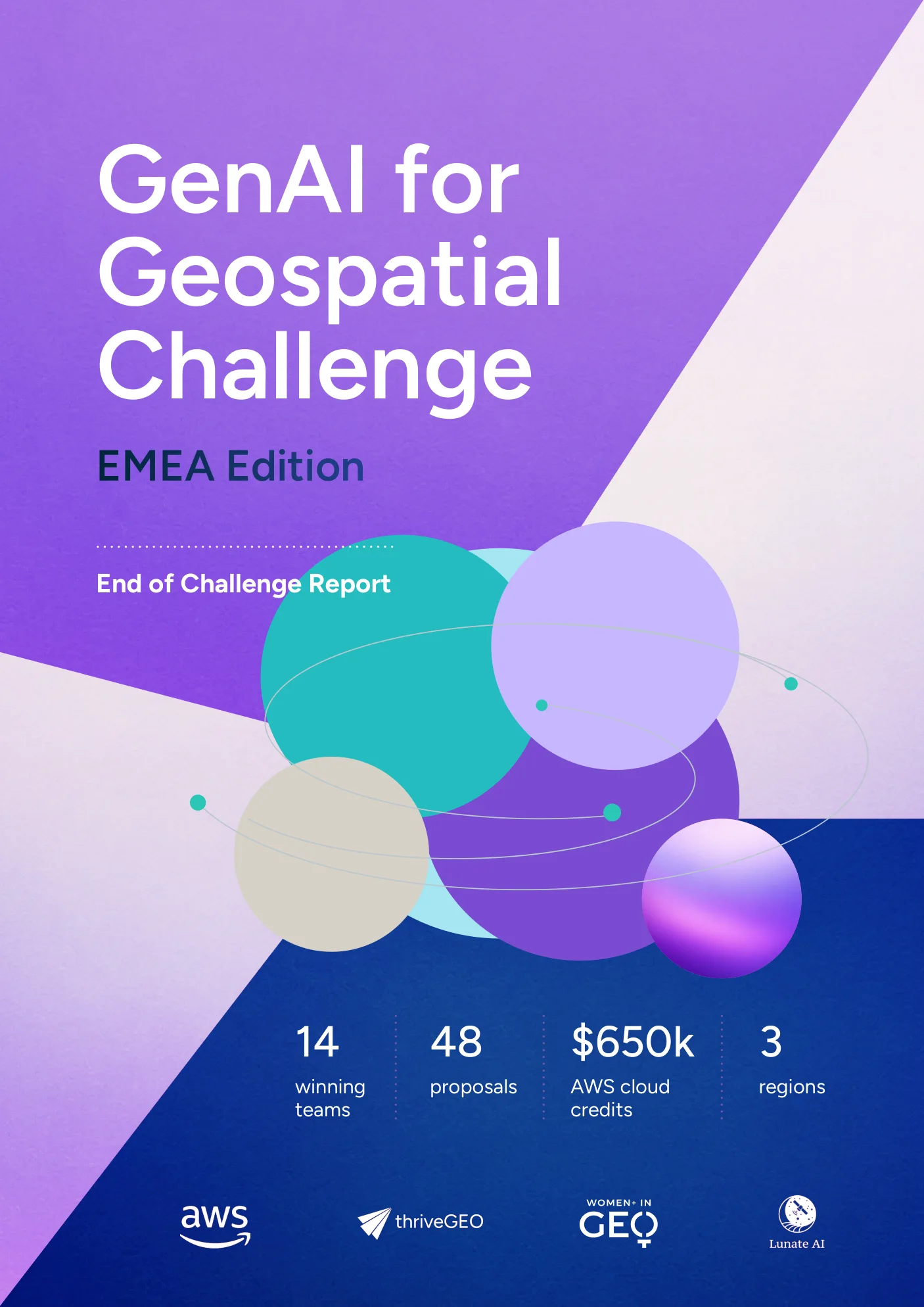
GenAI for Geospatial Challenge
AWS × thriveGEO
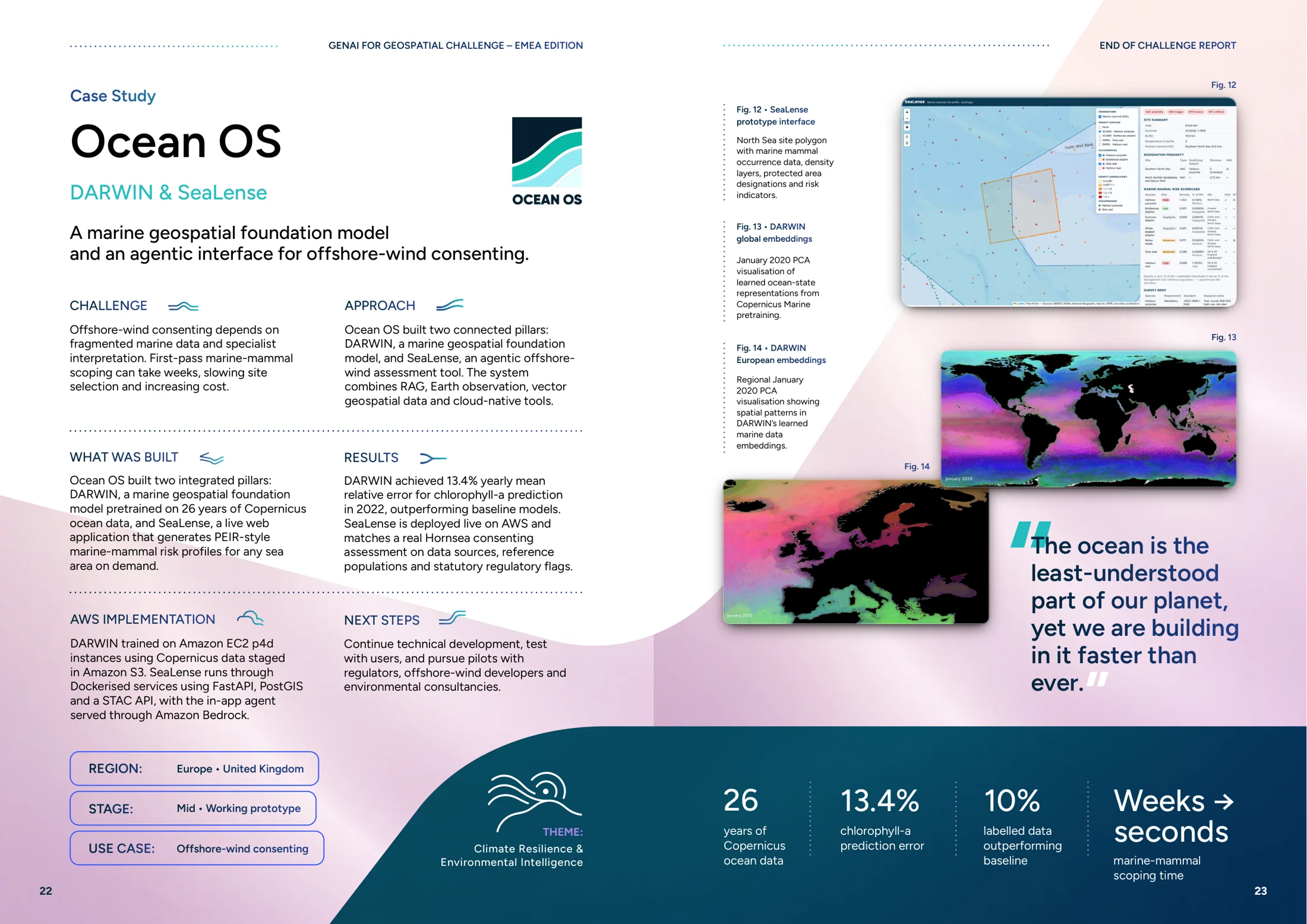
Organising fourteen technically different prototypes into a coherent set of case studies, without flattening what made each one different.
Context
An innovation challenge across Europe, the Middle East and Africa, inviting teams to build generative-AI-powered geospatial prototypes on AWS infrastructure. It ran in phases: proposal and evaluation, a Build Phase turning concepts into working prototypes, and a Show Phase closing with a final Demo Day.
Tension
Fourteen teams, fourteen genuinely different problems: climate resilience, urban heat, ocean intelligence, forest monitoring, methane detection, infrastructure, malaria targeting, nature-risk forecasting, maritime intelligence. Report them uniformly and every project sounds the same. Report them individually and there is no programme, just a list.
Role
Editorial and visual system for the end-of-challenge report · Challenge storytelling ecosystem · Web and campaign content
Marta worked across the challenge’s storytelling ecosystem and developed the editorial and visual system for the end-of-challenge report, organising fourteen technically different prototypes into a coherent set of case studies and synthesising patterns across climate, infrastructure, data and decision intelligence. Her wider work included web and campaign content and support for the challenge’s podcast and storytelling outputs.
System
Fourteen teams across three regions and multiple time zones, AWS cloud infrastructure and credits, thriveGEO programme delivery, and a geospatial community as the eventual audience. Projects grouped into four themes: climate resilience, urban systems, data infrastructure and decision intelligence.
What I Made
Full programme documentation covering all fourteen winning teams.
48 proposals narrowing to 14 teams, grouped into four themes.
A structure letting technically dissimilar prototypes sit side by side.
Storytelling output accompanying the programme.
Evidence
What Changed
The programme’s own conclusion was that AI works best as an interface to geospatial expertise rather than a shortcut around it, and that data readiness, responsible AI, infrastructure and adoption matter as much as the models.
Reflection
The strongest AI projects were rarely the flashiest. They were the ones with good data, a clear user and a real decision they were trying to improve.